Mapping Possibilities Into Precision

Professional land surveying and geospatial mapping services — Total Station, DGPS, Drone, and LiDAR surveys for precise, data-driven results.

WHY CHOOSE US

We Help You to Build
Everything You Need

Our Vision & Mission

We redefine surveying and geospatial excellence through innovation, precision, and reliability. Our mission is to empower infrastructure with accurate and data-driven spatial intelligence that supports sustainable development and smart decisions.

Client Satisfaction

Every project begins with our clients' trust. We focus on accuracy, transparency, and timely delivery — ensuring results that exceed expectations while maintaining long-term relationships built on reliability and communication.

Project Planning

Smart planning and precise data are the foundation of success. Our experts integrate advanced geospatial analytics and tailored solutions to transform ideas into executed, measurable outcomes — helping projects stay on time and budget.

Comprehensive Survey Solutions

From drone and DGPS to LiDAR and GIS mapping, we offer end-to-end land surveying solutions that enable smarter, faster, and more efficient project development across infrastructure, environment, and urban planning sectors.

ABOUT US

Ready to deliver smarter, sharper, and more precise mapping solutions than ever before

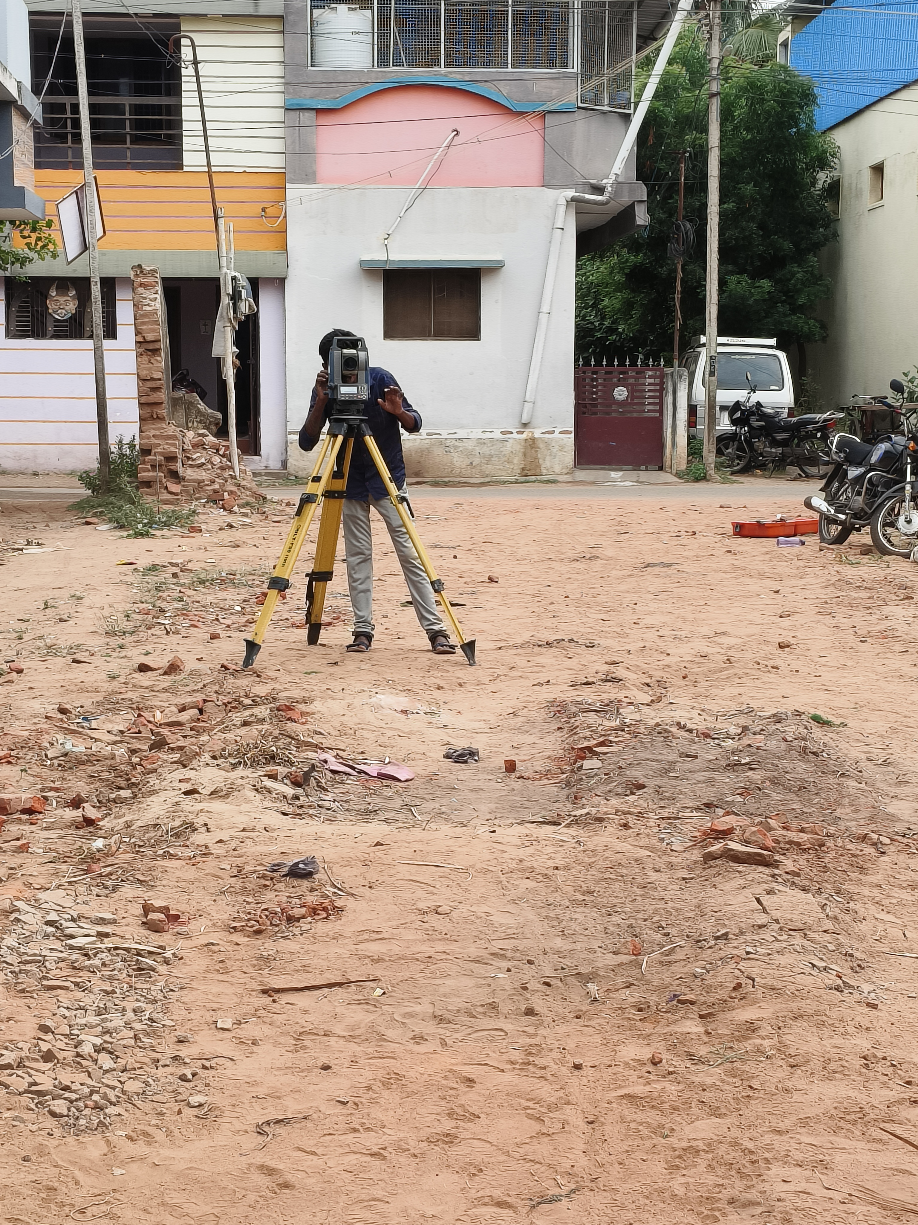
Precision mapping • LiDAR • Drone photogrammetry • DGPS • GIS

At Cartospatial Technologies we transform raw geography into actionable intelligence. Using topographic surveying, LiDAR, drone photogrammetry and DGPS workflows, we deliver accurate, timely and future-ready geospatial products that empower infrastructure, environment and development projects.

Whether for infrastructure, land development, environment, or smart city initiatives, our mission is to make every project stronger and smarter — grounded in rigorous data quality, clear reporting and efficient delivery.

Team of surveyors reviewing topographic maps and drone data in the field
Cartospatial field survey team

OUR SERVICES

High Quality Construction Services You Needed

Total Station Survey

High-accuracy boundary and topographic mapping.

READ MORE
drone

Drone Survey

High-resolution aerial mapping & 3D model generation.

READ MORE

DGPS Survey

Centimeter-level accuracy for land and alignment studies.

READ MORE

Photogrammetry

Accurate 3D terrain models created from aerial imagery.

READ MORE

LiDAR Survey

High-density point cloud mapping for terrain studies.

READ MORE

Bathymetric Survey

Underwater depth & seabed mapping using sonar.

READ MORE

Data Processing

Cleaning, classification & 3D geospatial modeling.

READ MORE

GIS Mapping

Spatial analysis, mapping & asset management.

READ MORE

TESTIMONIALS

What Clients Say

The DGPS Survey for our 20 km irrigation canal was executed with exceptional accuracy. Cartospatial delivered reliable centimeter-level data even across tough terrain.

Their precision and professionalism made the project seamless.

Subash Kannan

The drone topographical survey was fast, precise, and highly efficient. The high-resolution imagery and terrain models saved time and cost.

Cartospatial's team showed excellent technical skill and professionalism.

Arhan Hameed

The LiDAR classification for our 30-acre site was extremely accurate and insightful. Their advanced processing produced detailed terrain and feature data.

A skilled team and a trusted partner for geospatial intelligence.

Siraj Khoj